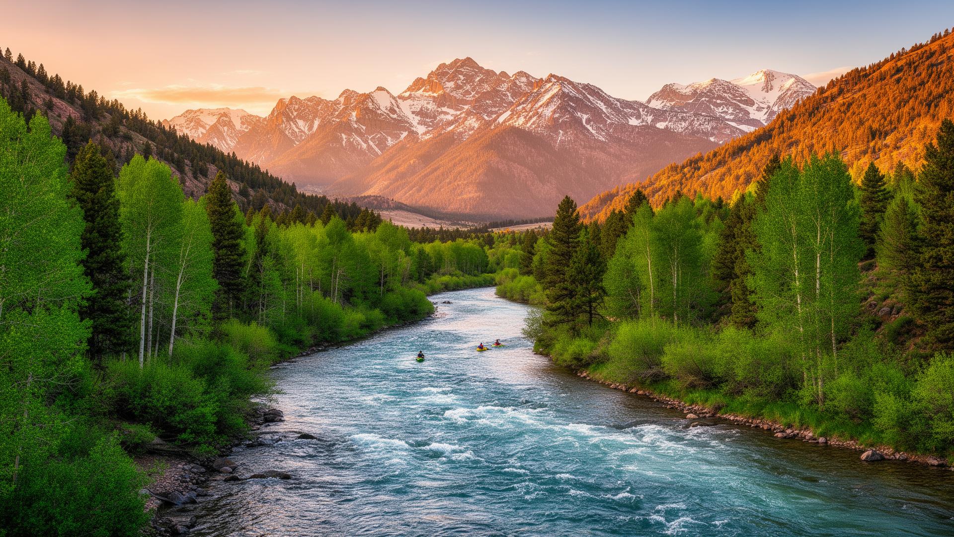
The Arkansas River runs from its headwaters above Leadville down to Cañon City, where it pours out of the mountains and onto the Great Plains. Along the way it carves one of the most-rafted stretches of whitewater in America, drains a long cluster of 14,000-foot peaks, and threads some of the most prized trout water in Colorado. The valley is bordered by the Sawatch and Mosquito ranges to the west and the Sangre de Cristos to the south.
Top to bottom
Leadville sits at the headwaters at 10,150 feet — the highest incorporated city in the US, a former silver-boom town turned high-altitude endurance hub. The Upper Ark from Leadville through Granite is gentler, colder, and where the river really feels like a high-mountain stream.
Buena Vista marks the start of the Collegiate Peaks corridor — the most photogenic stretch of the valley. Salida is the cultural and rafting capital, and the river through Browns Canyon between BV and Salida is the headline whitewater. Below Salida, the river opens into the warmer, drier Lower Ark through Cotopaxi and eventually drops into the Royal Gorge above Cañon City.
How to plan a trip across the whole valley
A long weekend can reasonably cover the Salida–BV corridor. A full week opens up Leadville at the top and the Royal Gorge at the bottom. The most rewarding road-trip approach is to base in Salida or BV and day-trip outward — both have the lodging and food scenes to support a longer stay.
Explore
Frequently asked
How long is the Arkansas River?+
The Arkansas runs from its Colorado headwaters near Leadville all the way to the Mississippi River. The Colorado headwaters section — the part covered on this site — runs from Leadville down to the canyon country below Cañon City.
Last reviewed: May 2026